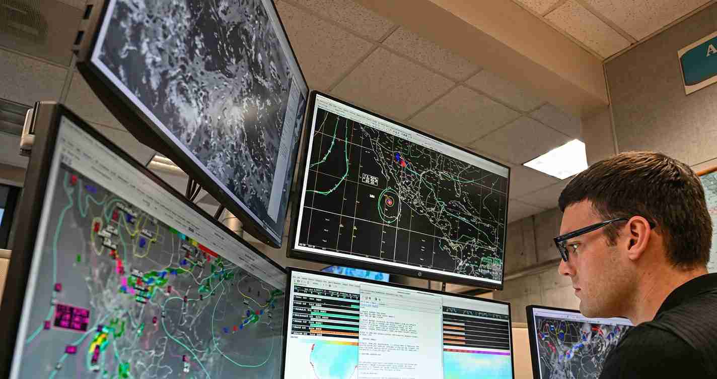
WASHINGTON, Aug. 1 (DC Times Online) — The National Hurricane Center is forecasting no tropical development in the Atlantic basin, Caribbean Sea or Gulf of Mexico through the week after its Aug. 1 outlook. For people in the United States, the practical step is to keep checking the hurricane center’s official Tropical Weather Outlook rather than responding to the current tropical waves as immediate threats.
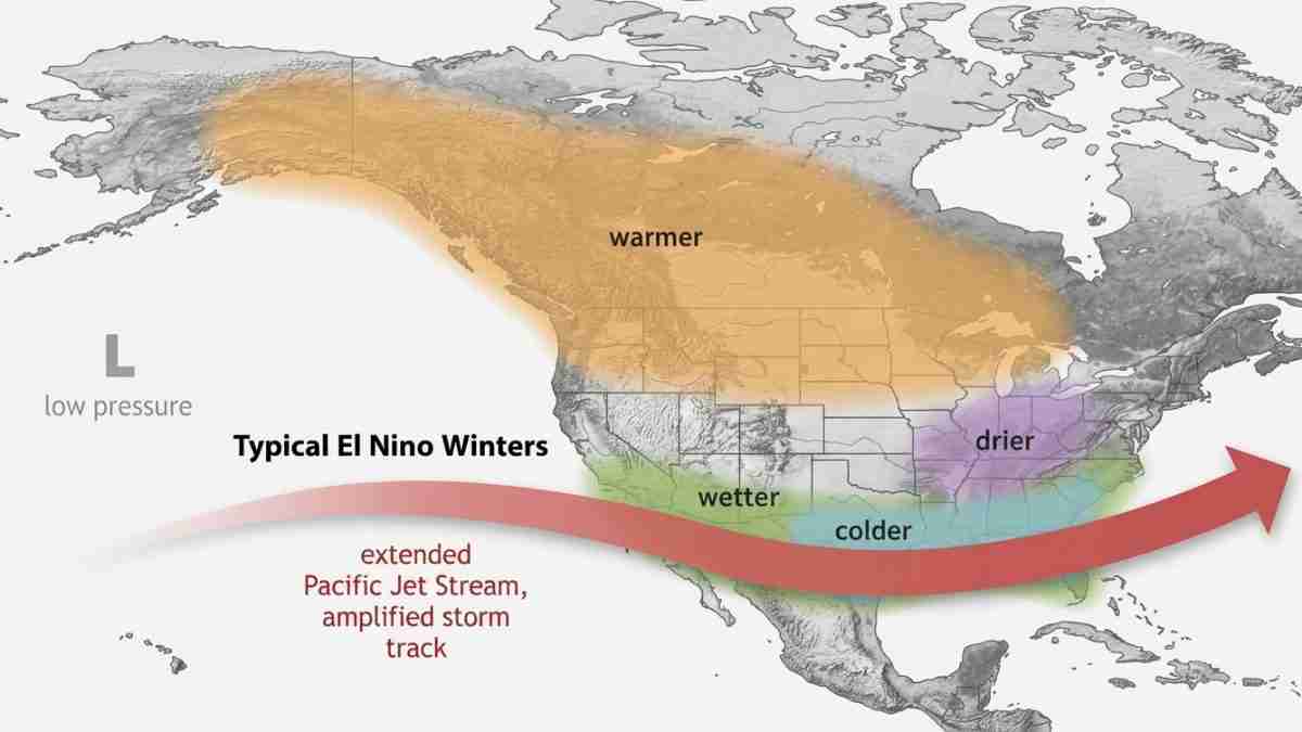
The quiet forecast comes as El Niño strengthens toward what forecasters say could be a record or near-record event. El Niño is a recurring warming pattern in the tropical Pacific Ocean. It can change upper-level winds across the Atlantic, making it harder for thunderstorms to organize into tropical storms and hurricanes.
The Atlantic hurricane season began June 1. The FOX Forecast Center said two named storms had formed by July 31, a pace below the seasonal forecasts issued by several major forecasting groups. A named storm is a tropical cyclone that reaches sustained winds of at least 39 mph.
Why El Niño can suppress Atlantic storms
Tropical systems need thunderstorms, warm water and a supportive wind pattern to grow. One of the main obstacles this season is wind shear, which is a difference in wind speed or direction between the lower and upper parts of the atmosphere.
Strong wind shear can tilt or tear apart a developing storm. The Climate Prediction Center and NOAA have linked the strengthening El Niño to more hostile upper-level winds over the tropical Atlantic.
Saharan dust is adding another obstacle. Dry, stable air carried westward from Africa can limit the thunderstorms that help tropical waves develop. The FOX Forecast Center said dust and dry air were suppressing thunderstorm activity across parts of the Atlantic.
Sea-surface temperatures are providing a competing influence. Warm water can supply energy to tropical systems, and the Atlantic Main Development Region — the area between the west coast of Africa and the Caribbean — has had warmer-than-normal waters. But forecasters said the warm water’s influence was being offset by El Niño-related wind shear and other hostile conditions.
What about the waves moving off Africa?
Several tropical waves were moving from the African coast into the Main Development Region. A tropical wave is a disturbance in the atmosphere that can sometimes become a tropical depression, storm or hurricane.
Their presence does not mean a storm will form. Development depends on whether each wave can find enough moisture, warm water and low wind shear. The FOX Forecast Center said the waves would have to overcome the current combination of hostile winds and Saharan dust.
The Gulf of Mexico and areas near the Southeast coast can also support so-called homegrown development, which forms closer to land rather than tracking across the Atlantic. That possibility is one reason forecasters continue to watch the entire basin even during a quiet period.
Does a slow start rule out a busy season?
No. A quiet July does not determine what will happen during the rest of the season. Atlantic activity usually rises later in the summer and often peaks from late August into September, although the supplied forecasts do not establish how individual waves will behave after the current seven-day window.
Seasonal forecasts also differ. NOAA was reported as forecasting 8 to 14 named storms, three to six hurricanes and one to three major hurricanes. Colorado State University’s forecast called for 11 named storms, five hurricanes and two major hurricanes. AccuWeather was reported as forecasting 8 to 14 named storms, four to seven hurricanes and two to four major hurricanes.
Those are seasonal estimates, not storm-by-storm predictions. They describe the expected overall level of activity and can change as ocean and atmospheric conditions evolve.
For now, the National Hurricane Center’s official seven-day outlook calls for no areas of concern. Residents along the U.S. Gulf and Southeast coasts should continue to use the center’s Tropical Weather Outlook for updates, while taking routine hurricane-season steps such as knowing evacuation routes and reviewing household emergency supplies. No storm-specific action is identified in the current outlook.